Platform 3D Resource Index
RflySim3D/RflySimUE5 comes with a rich library of 3D models and scene resources. Pressing F2 in RflySim3D generates a complete model style index table, ModelData.csv.
Unique3DClassID Calculation Formula:
Unique3DClassID = DisplayOrder × 100000 + ClassID
I. Free Edition Resources
1.1 Free Edition 3D Models
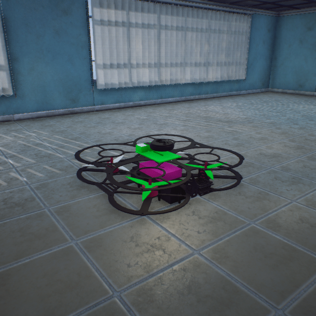
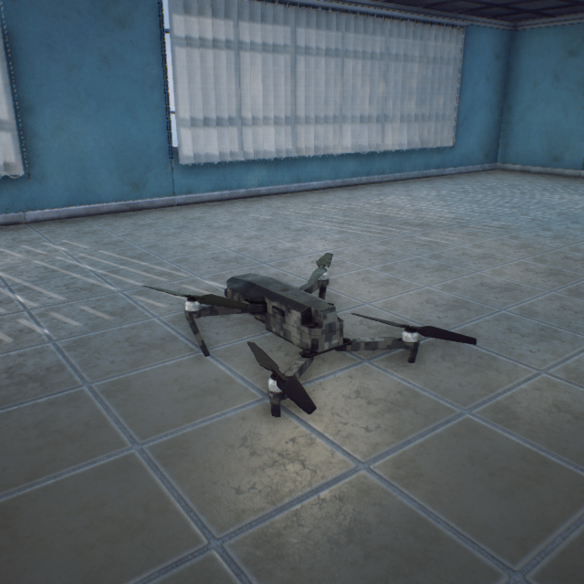
Quadcopter (ClassID=3)
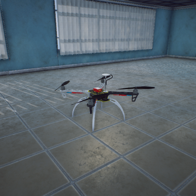
F450_Default
100000003
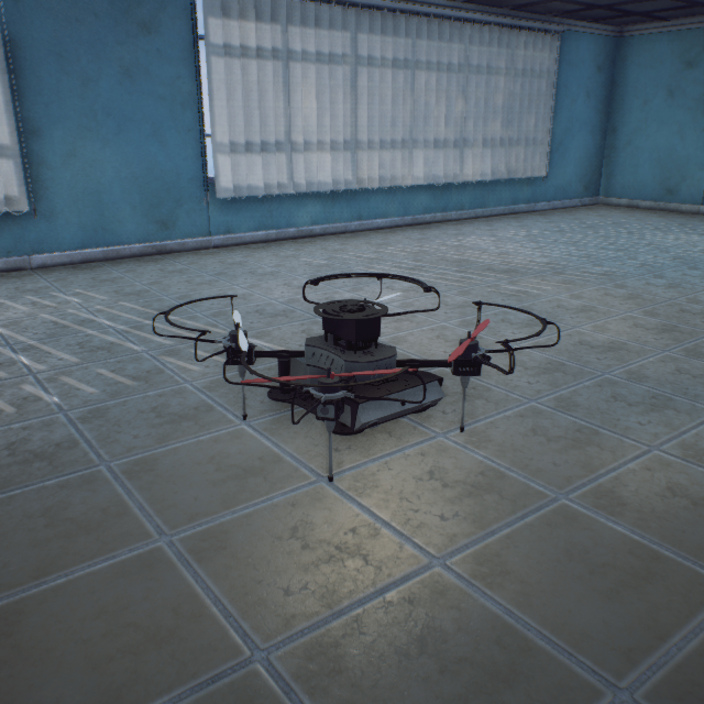
Droneyee_QuadX330
101000003
Droneyee_QuadX200
101100003
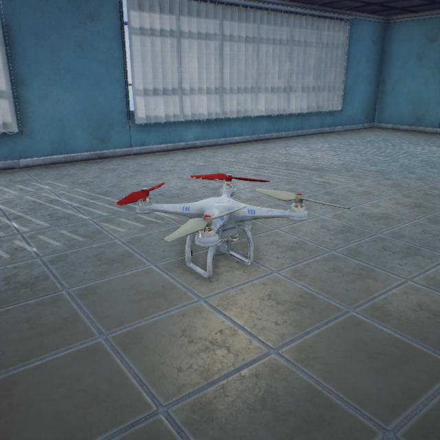
DJI_Phantom_White
102000003
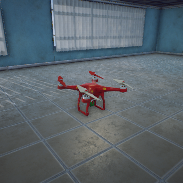
DJI_Phantom_Red
103000003
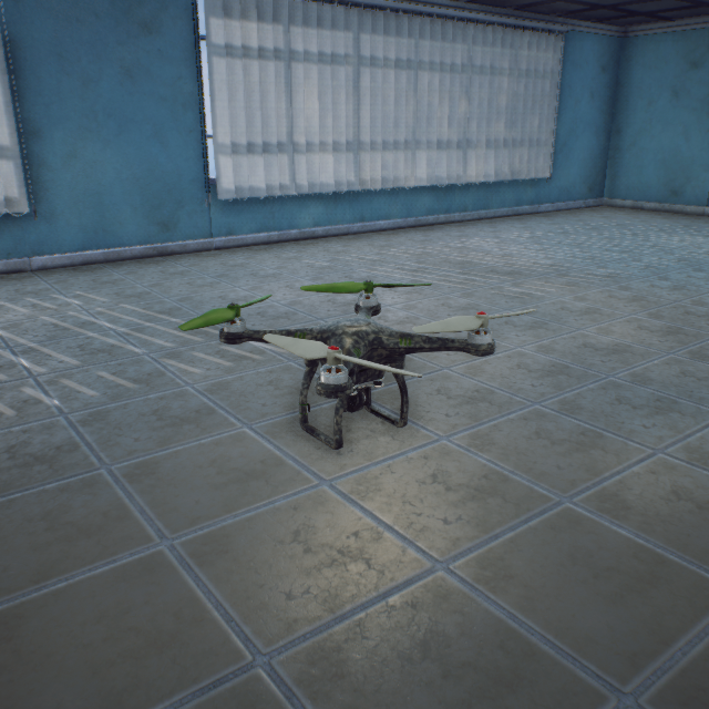
DJI_Phantom_Army
104000003
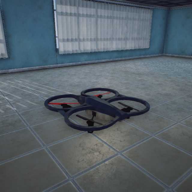
AR_Drone_BlackGreen
105000003
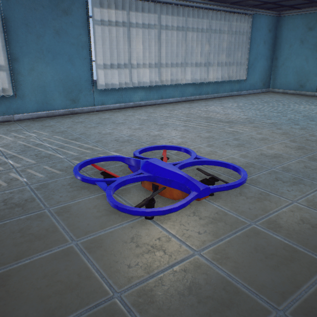
AR_Drone_Blue
106000003
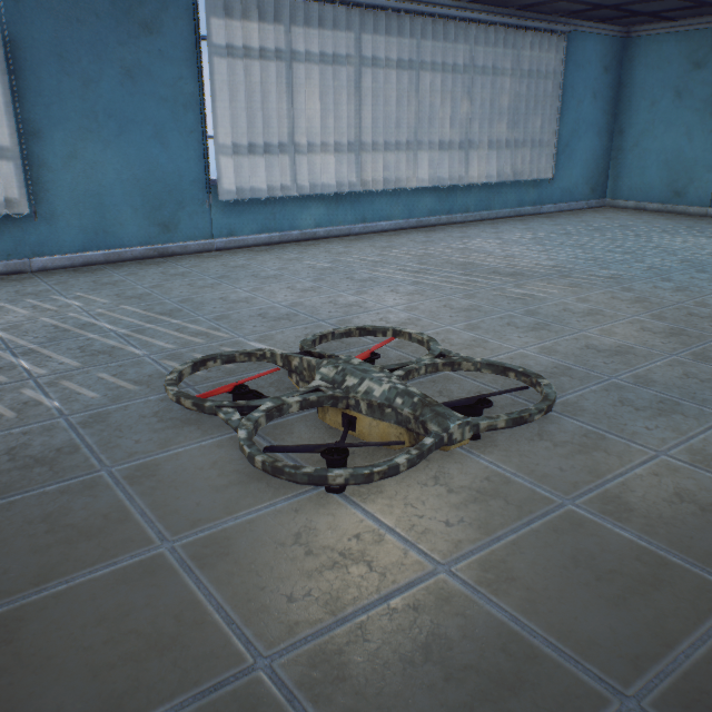
AR_Drone_Army
107000003
Quad_Fold_Gray
108000003
Quad_Fold_Army
109000003
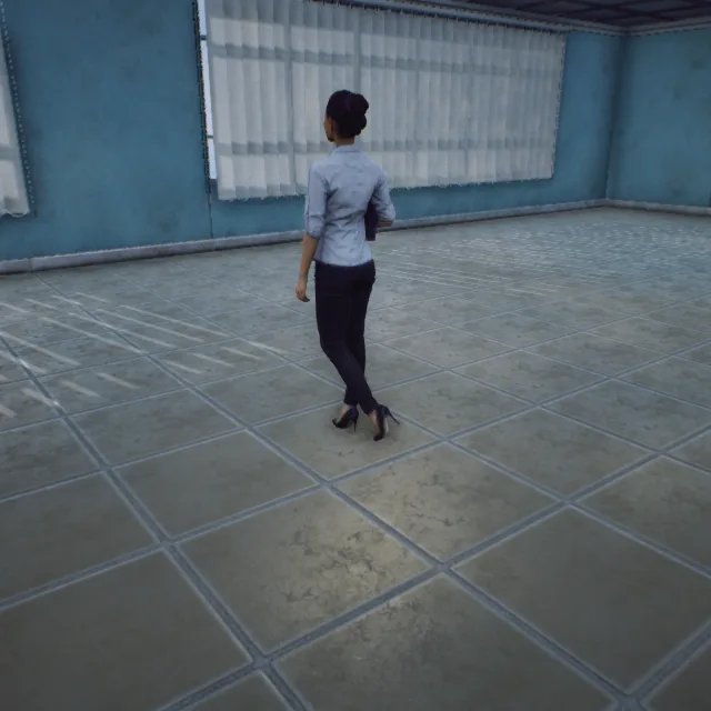
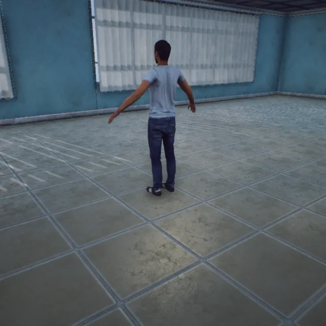
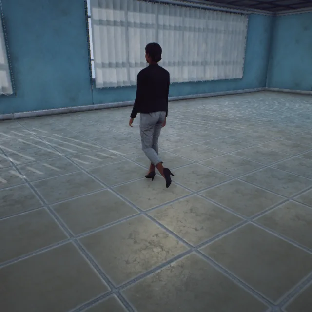
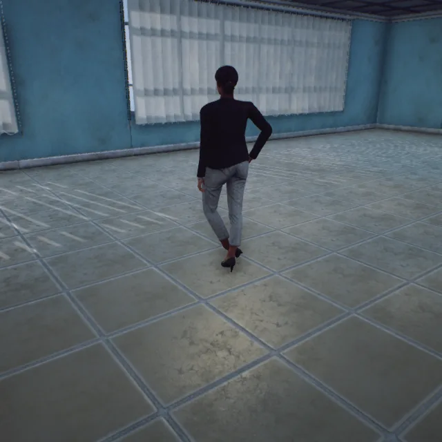
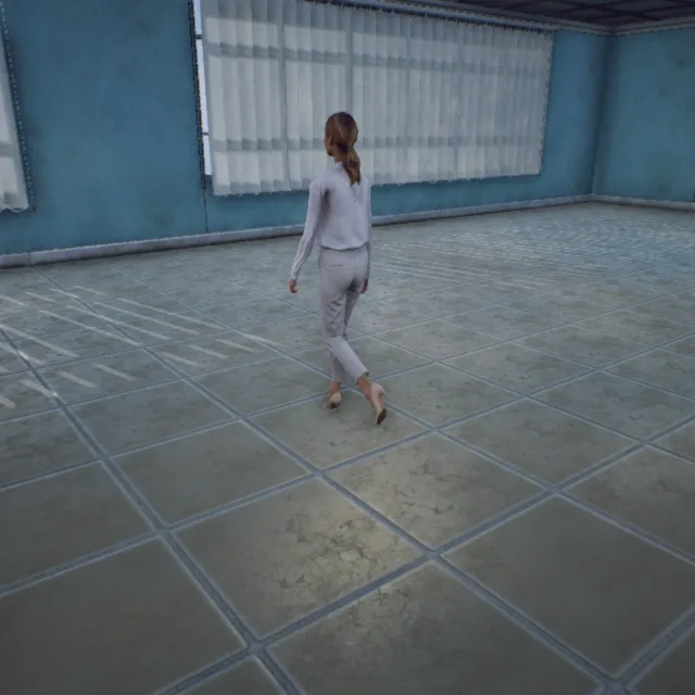
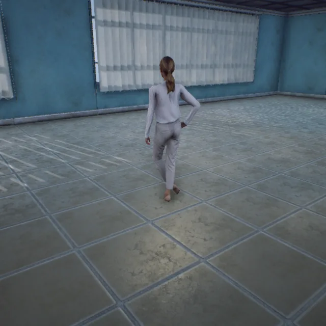
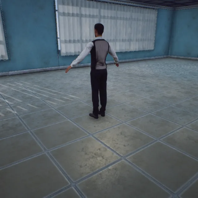
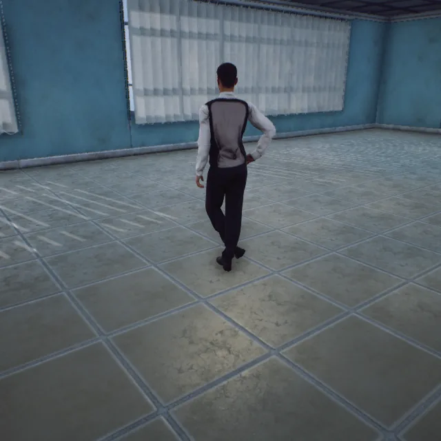
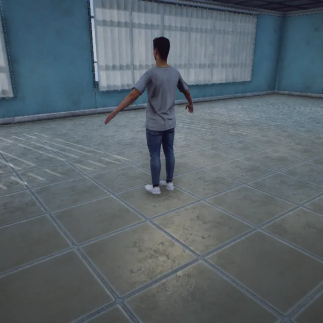
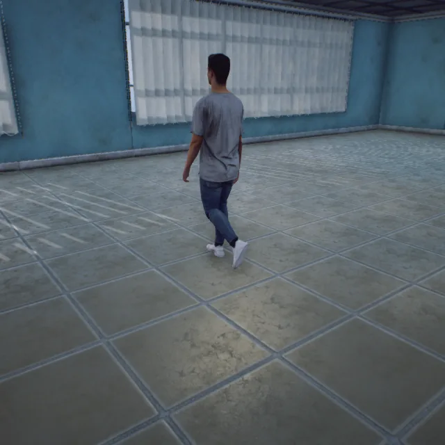
Characters (ClassID=30)
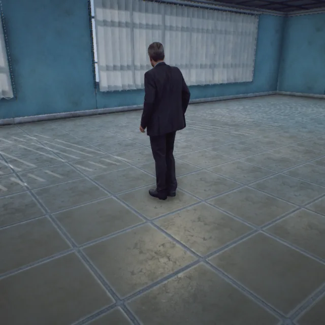
Dennis_Static
100000030
Mei_Static
101000030
Nathan_Static
102000030
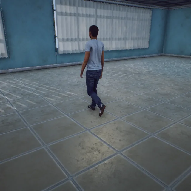
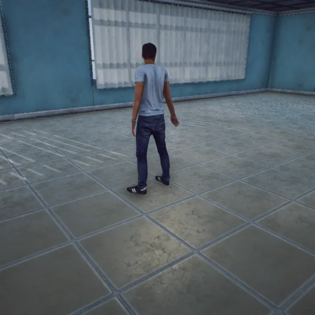
Nathan_Walking
103000030
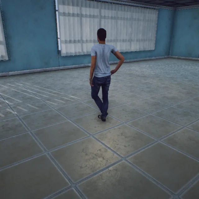
Nathan_Dancing
104000030
Nathan_Standing
105000030
Carla_Static
105500030
Carla_Walking
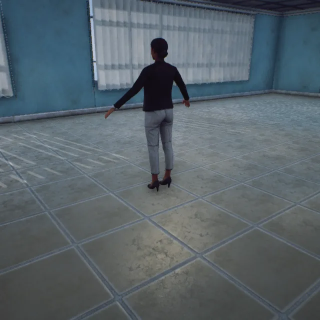
106000030
Carla_Standing
107000030

Claudia_Static
107500030
Claudia_Walking
108000030
Claudia_Standing
109000030
Eric_Static
109500030

Eric_Walking
110000030
Eric_Standing
111000030
Manuel_Static
111500030
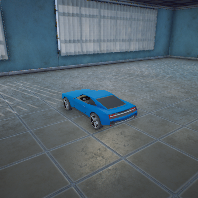
Standard_Car_Blue
100000050
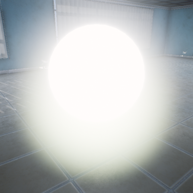
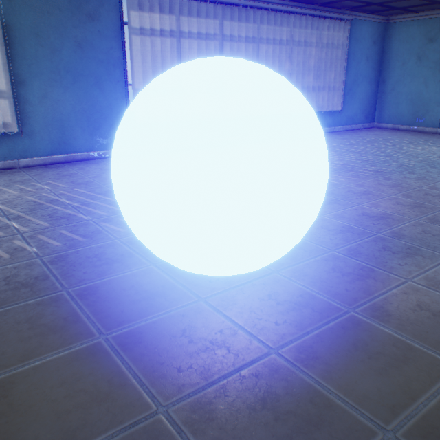
Light_White
100000060
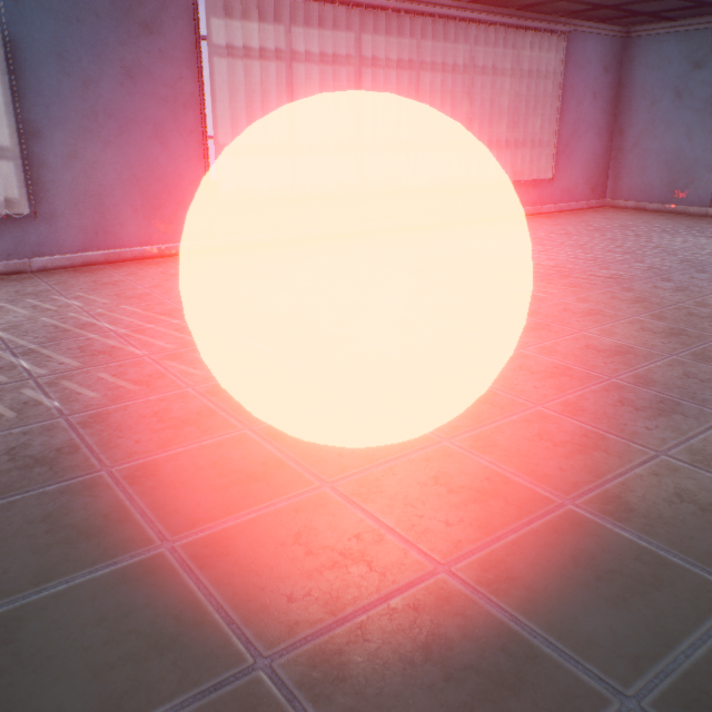
Light_Red
101000060
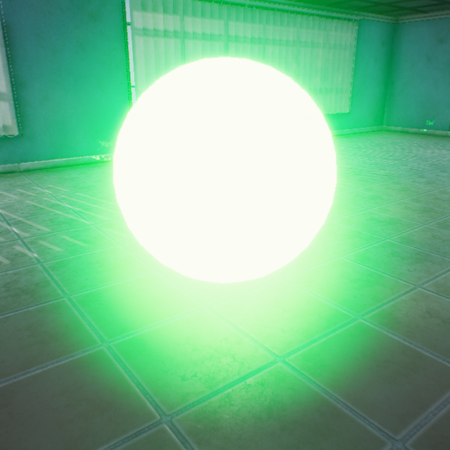
Light_Green
102000060
Light_Blue
103000060
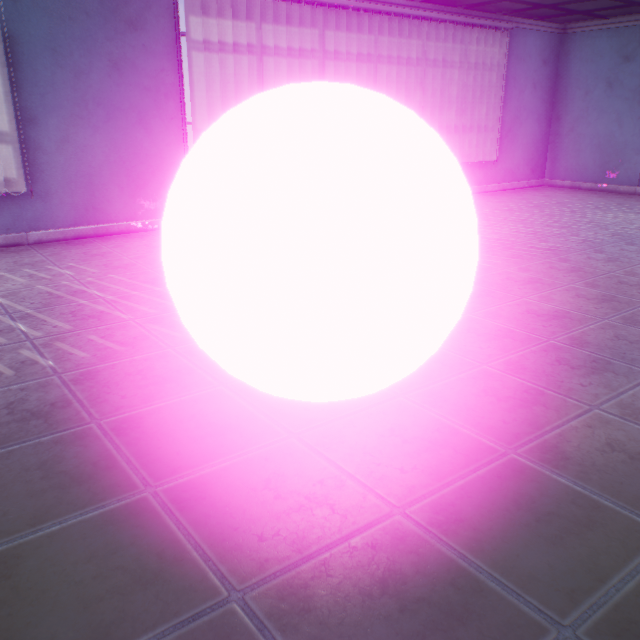
Light_Purple
104000060
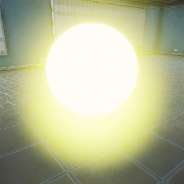
Light_Yellow
105000060
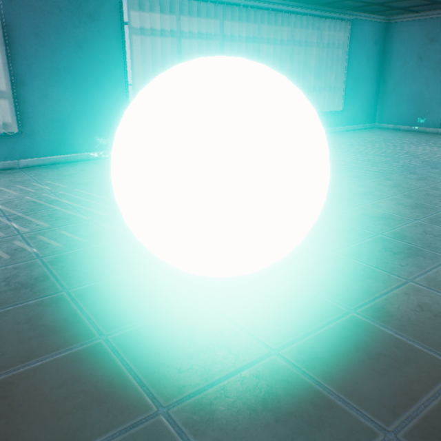
Light_Aqua
106000060
Light_White_Strong
107000060
Light_Red_Strong
108000060
Light_Green_Strong
109000060
Light_Blue_Strong
110000060
Light_Purple_Strong
111000060
Light_Yellow_Strong
112000060
Light_Aqua_Strong
113000060
Light_Dark
114000060
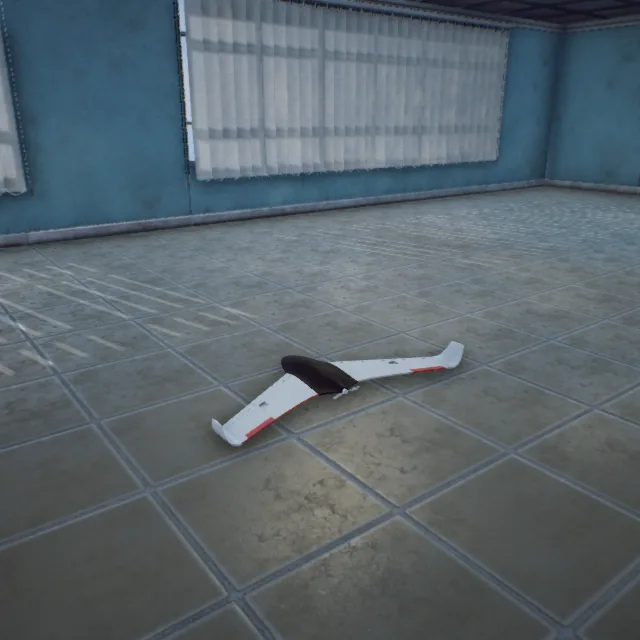
Flying_Wing
100
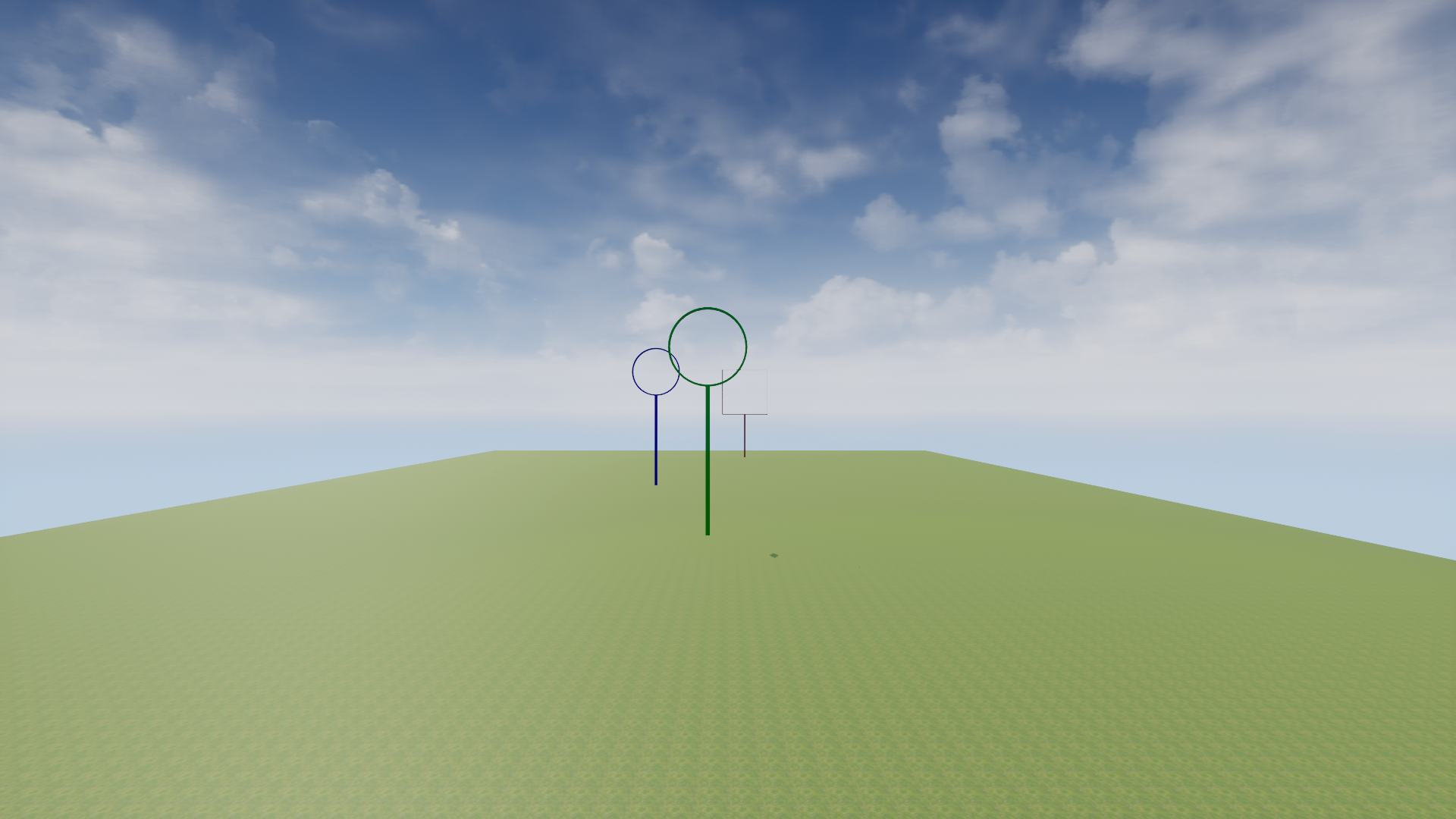
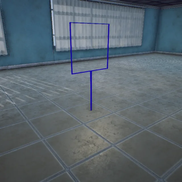
### Circular Ring (ClassID=150)
Ring_Target_Blue
100000150
Ring_Target_Green
101000150
### Square Ring (ClassID=151)
Quad_Target_Red
100000151
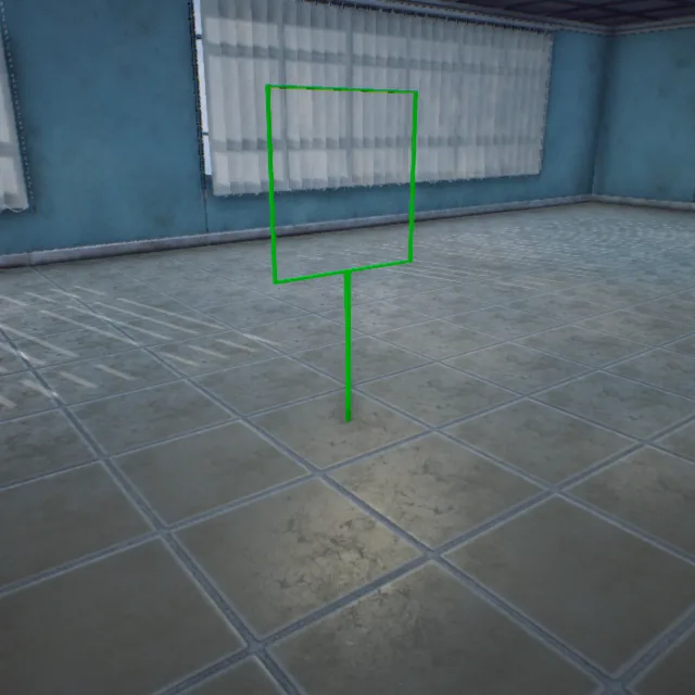
Quad_Target_Green
101000151
Quad_Target_Blue
102000151
### Spherical (ClassID=152)
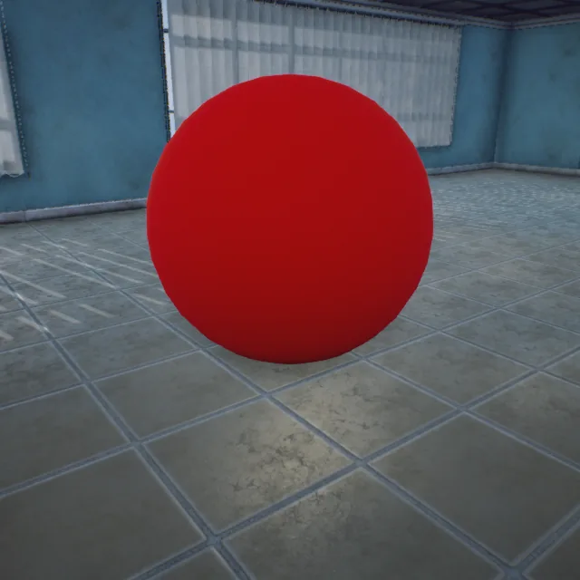
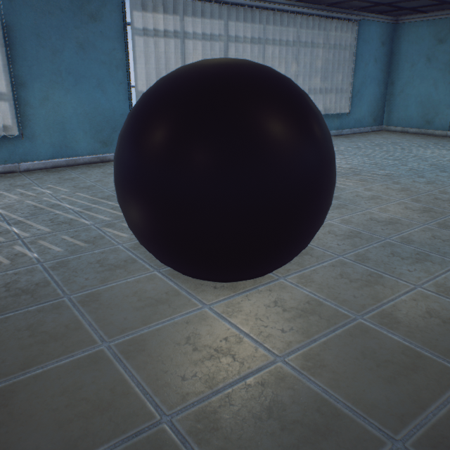
Sphere_Target_Red
100000152
#### 1.2 Free Edition 3D Scene
3DDisplay
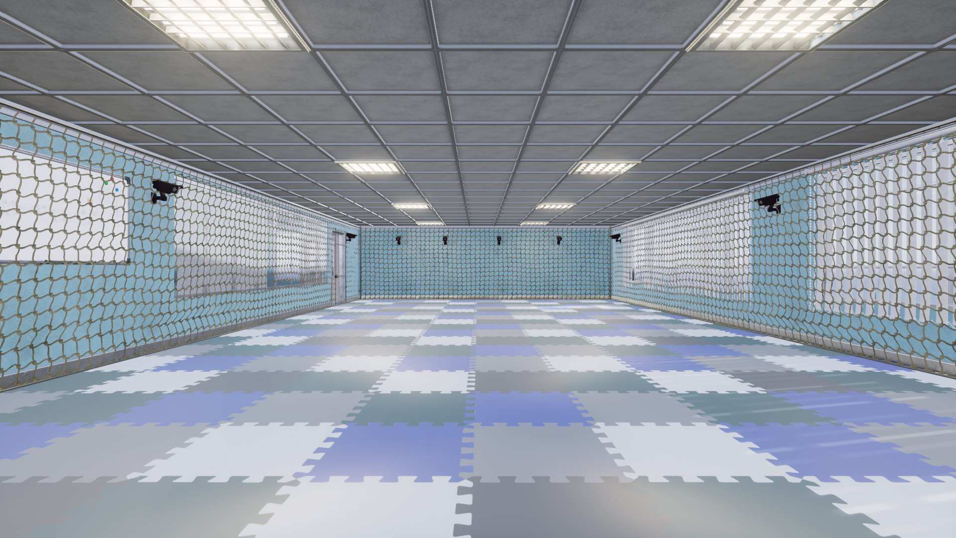
CameraRoom
ChallengeMap
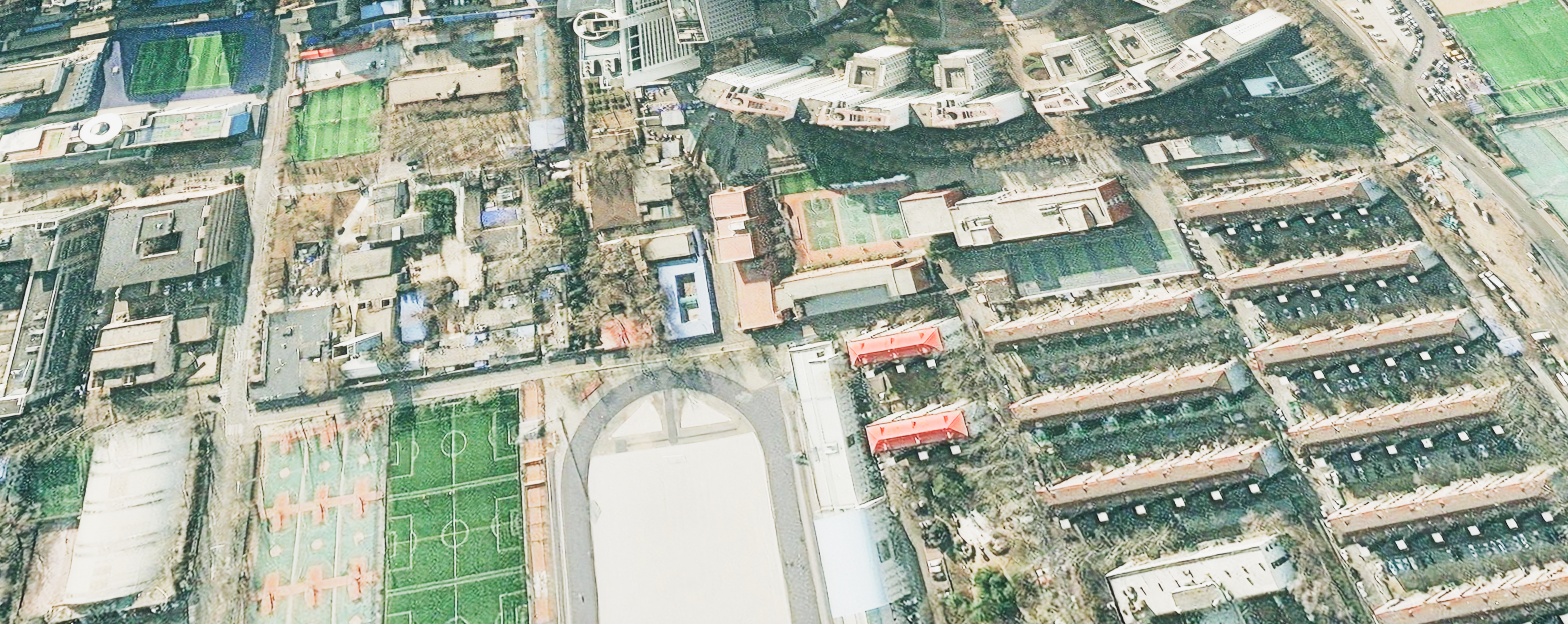
Changsha
Denver
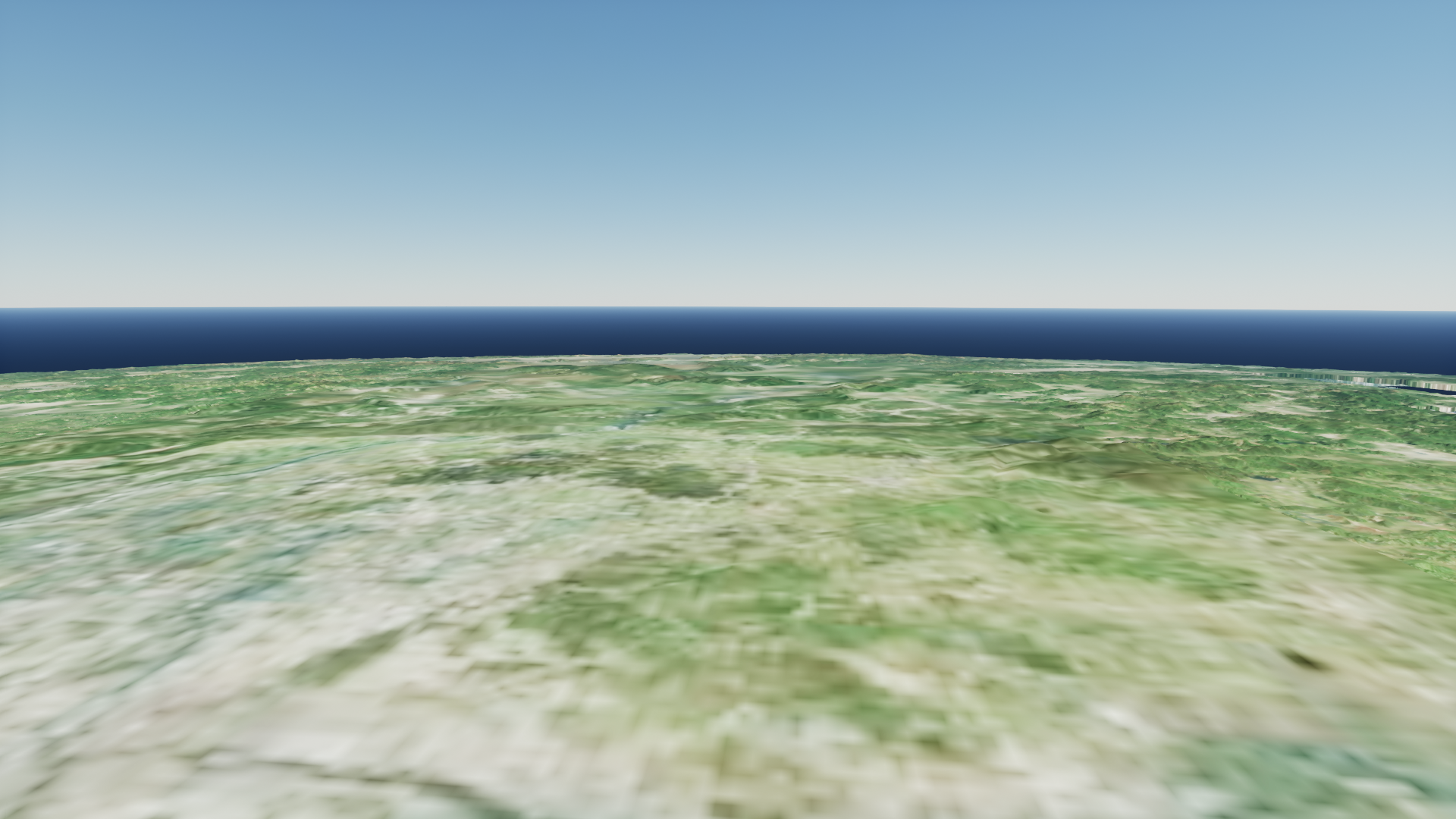
EarthMap
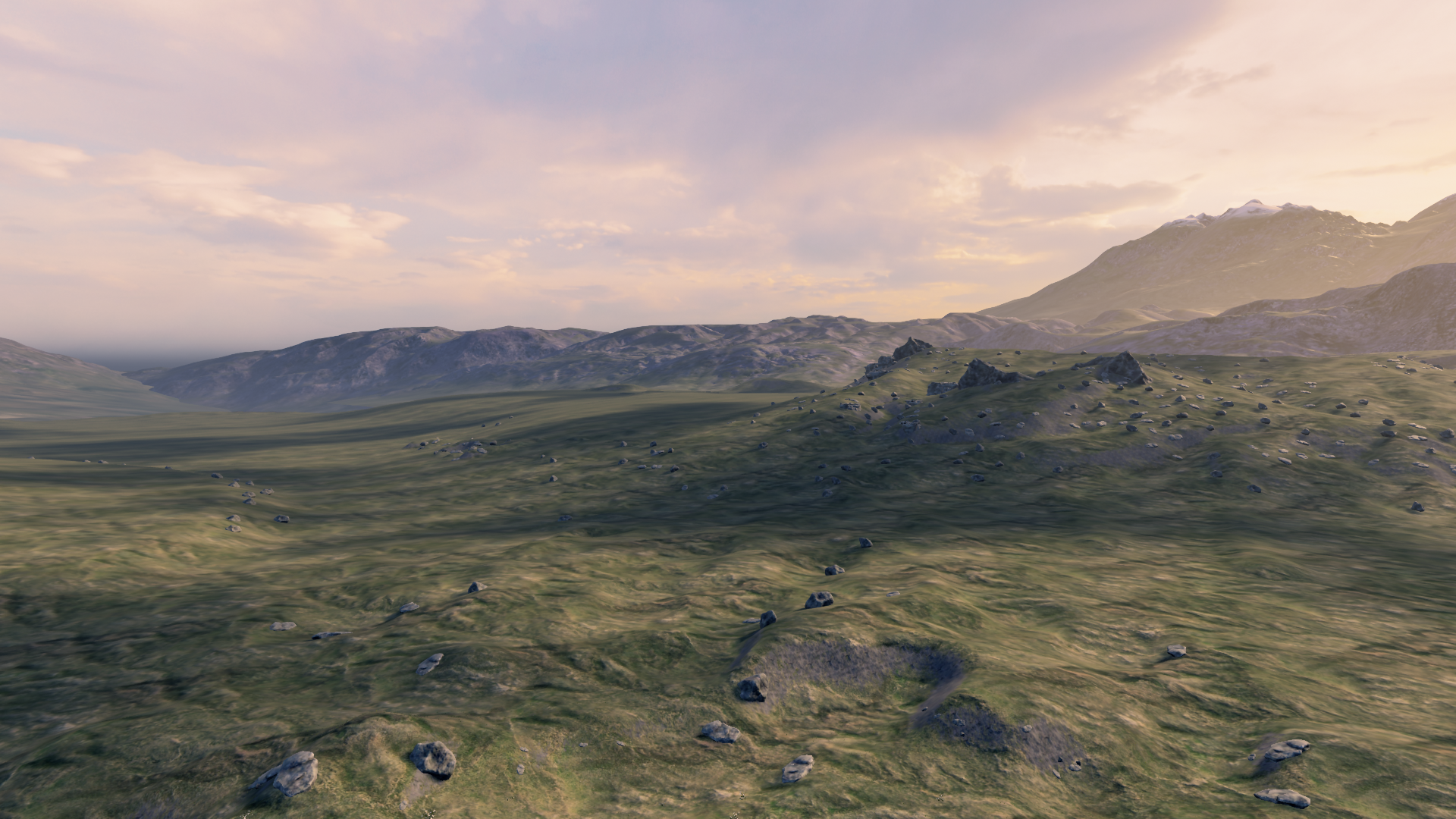
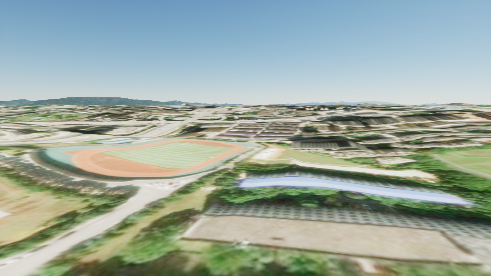
Grasslands

LightShow
LowGPU
MapData
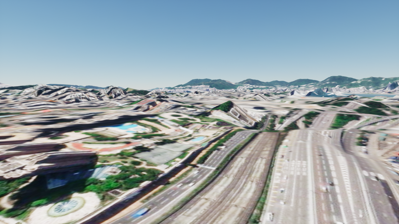
MapDataHongkong
MapSmall
MatchScene
MatchScene2
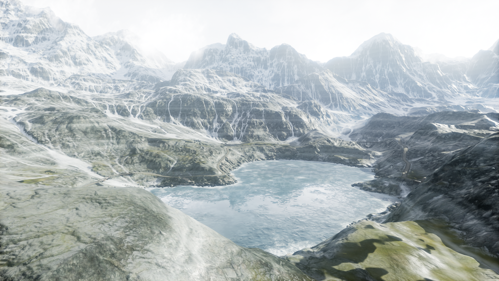
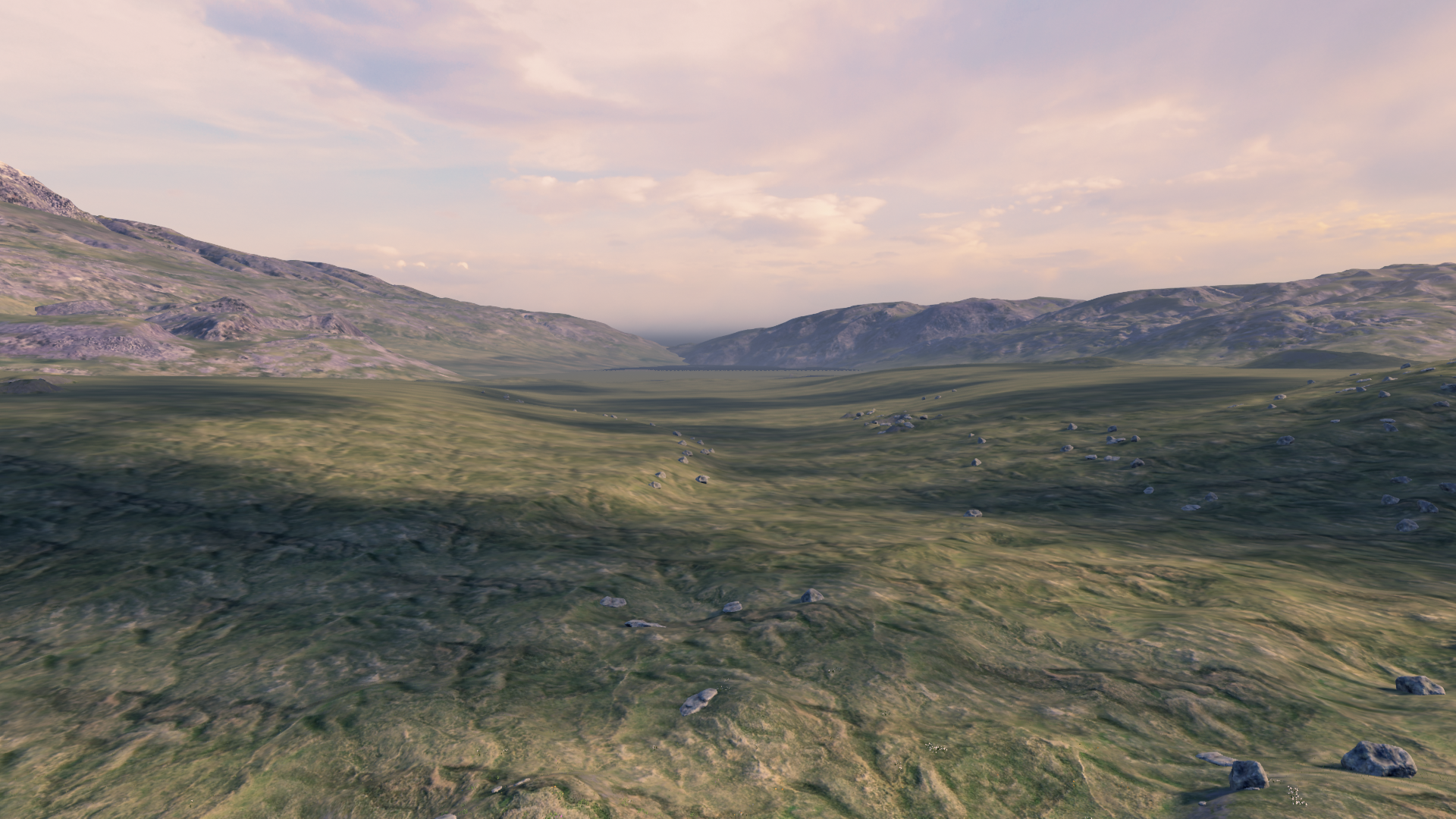
MountainTerrain
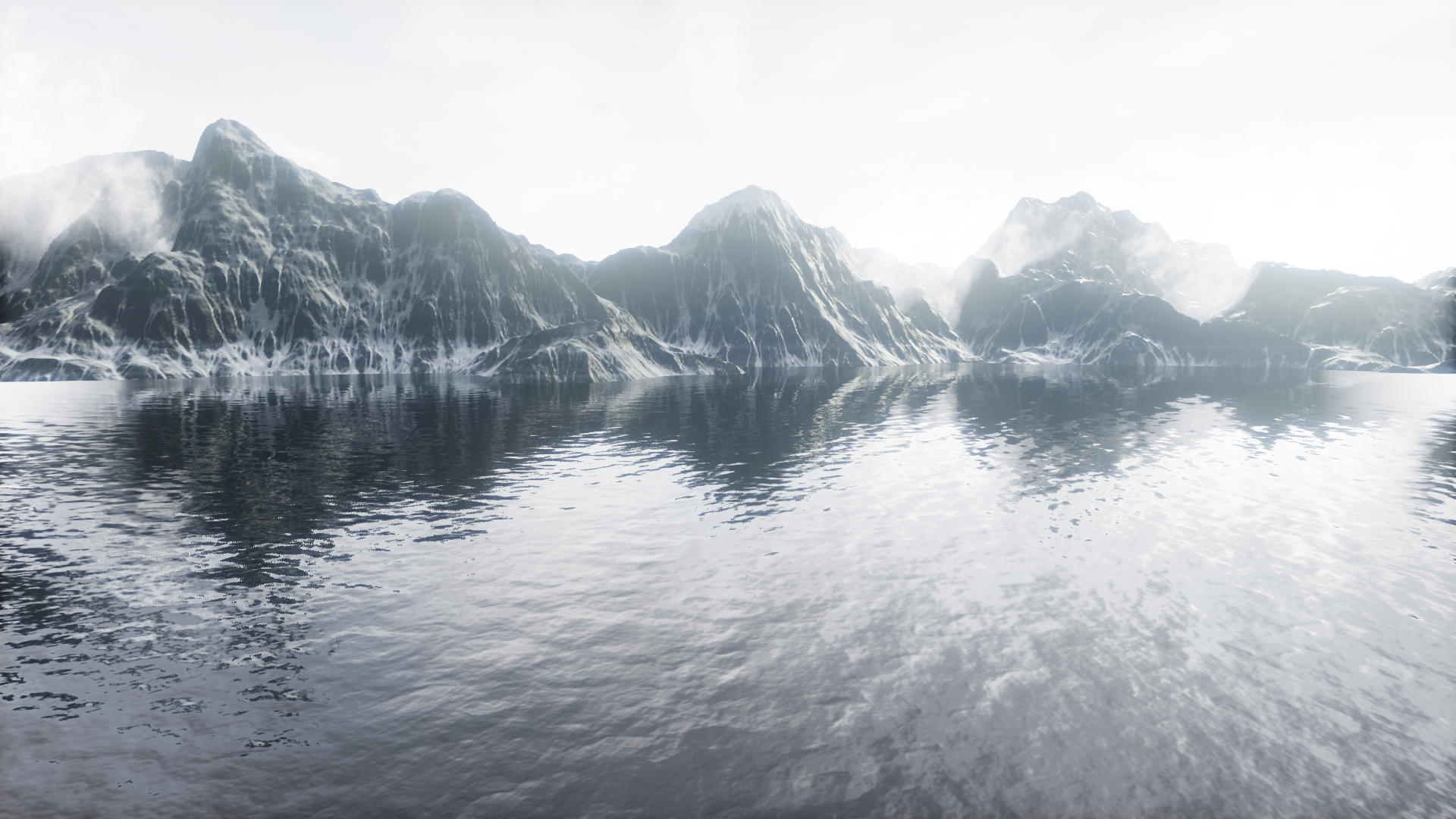
MountainTerrain_Water
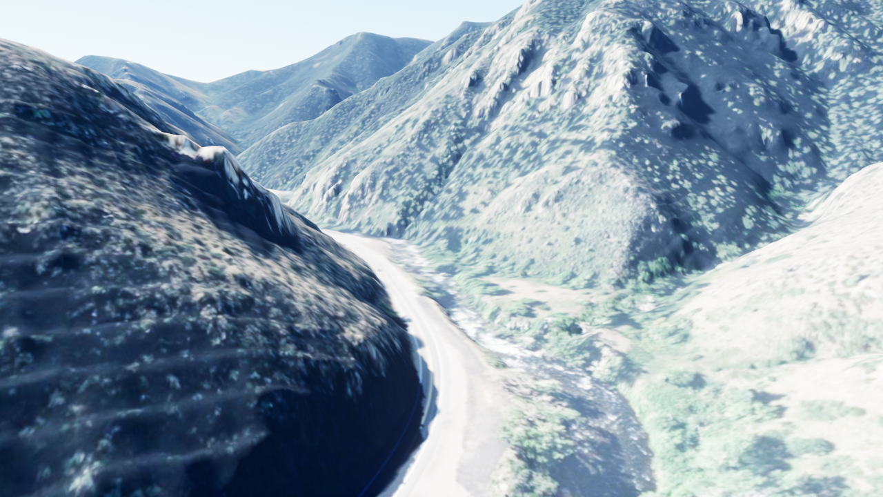
MoutainRoad
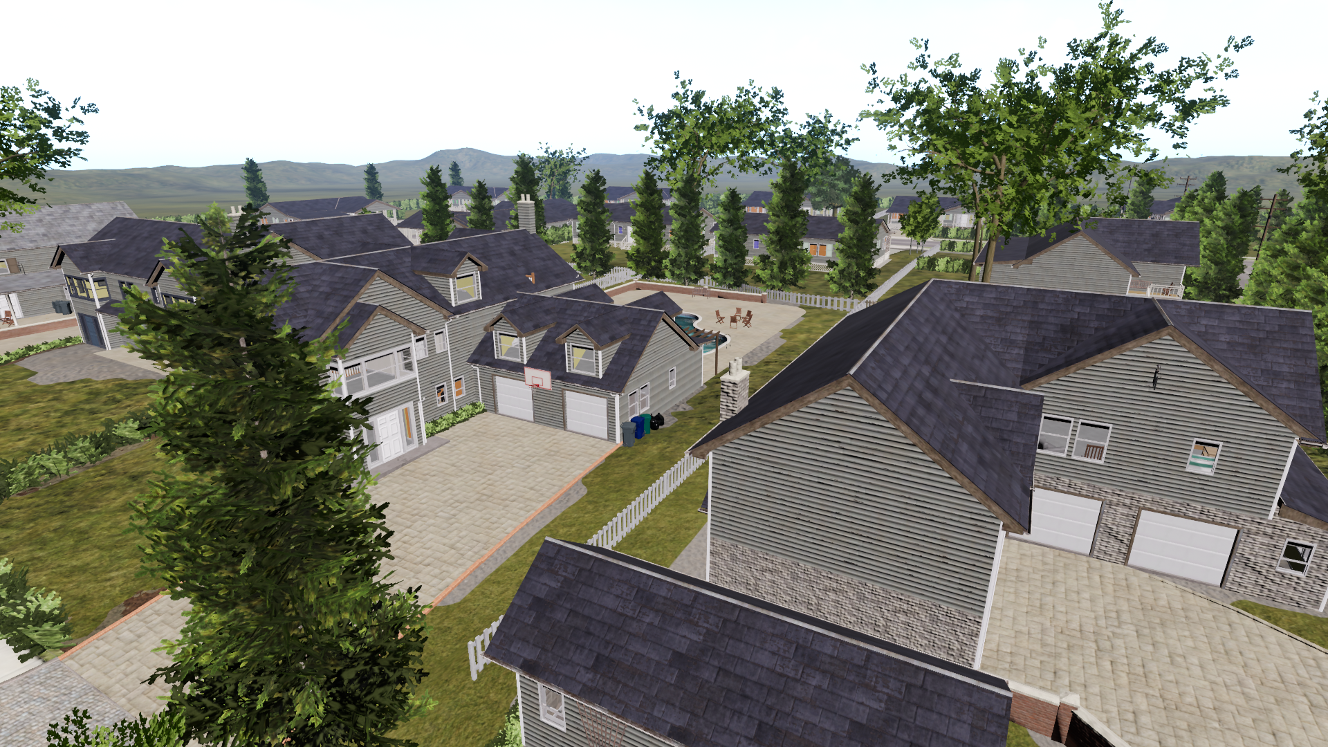
NeighborhoodPark
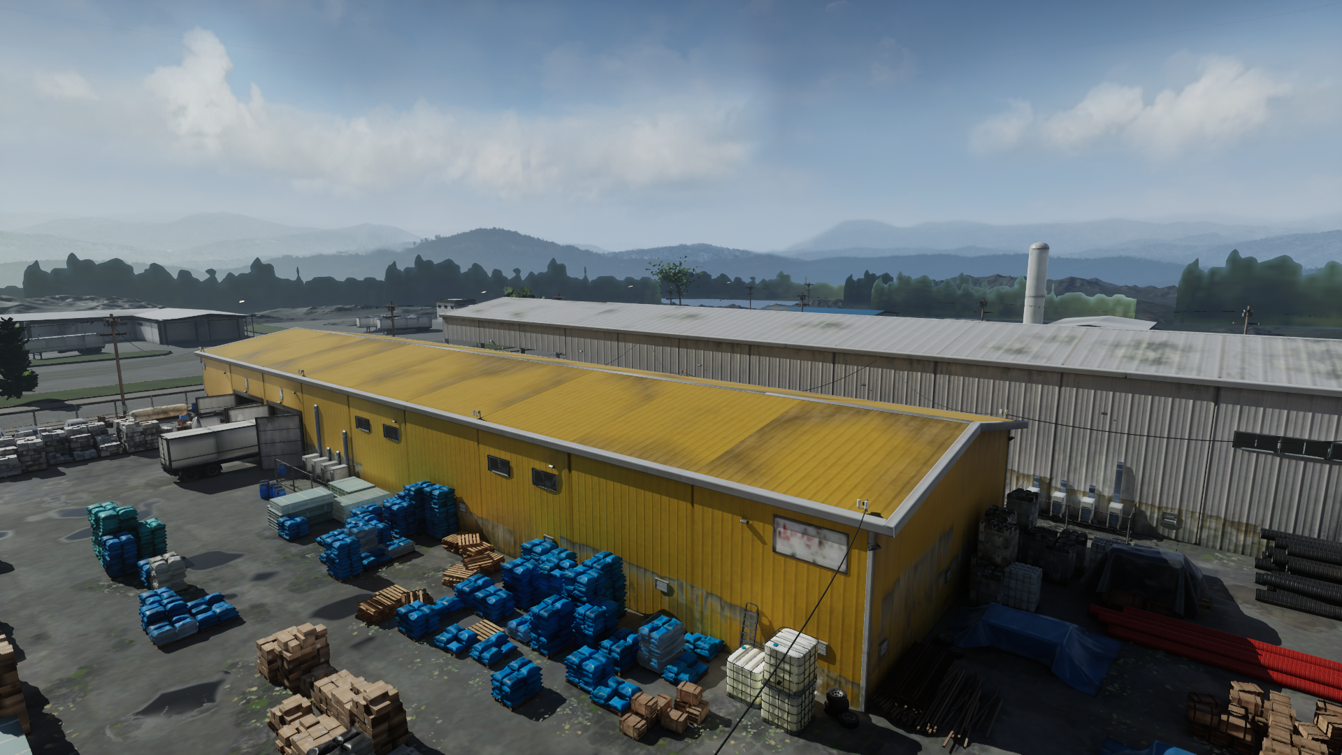
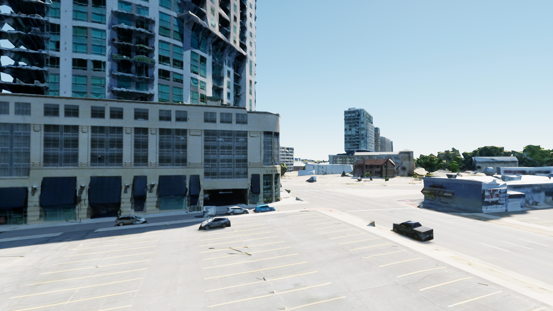
OldFactory
SLAMScene
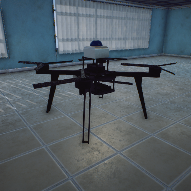
### Hexacopter (ClassID=5)
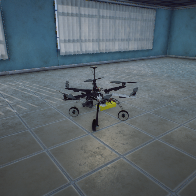
HexaCopter_550
10000005
48-55-39 cm (Static Mesh)
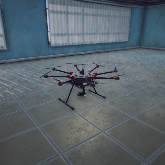
### Octocopter (ClassID=8)
Dennis_Static
100000030
239-70-268 cm (Skeletal Animation)
Mei_Static
101000030
239-70-268 cm (Skeletal Animation)
Nathan_Static
102000030
239-70-268 cm (Skeletal Animation)
Nathan_Walking
103000030
239-70-268 cm (Skeletal Animation)
Nathan_Dancing
104000030
239-70-268 cm (Skeletal Animation)
Nathan_Standing
105000030
239-70-268 cm (Skeletal Animation)
Carla_Static
105500030
239-70-268 cm (Skeletal Animation)
Carla_Walking
106000030
239-70-268 cm (Skeletal Animation)
Carla_Standing
107000030
239-70-268 cm (Skeletal Animation)
Claudia_Static
107500030
239-70-268 cm (Skeletal Animation)
Claudia_Walking
108000030
239-70-268 cm (Skeletal Animation)
Claudia_Standing
109000030
239-70-268 cm (Skeletal Animation)
Eric_Static
109500030
239-70-268 cm (Skeletal Animation)
Eric_Walking
110000030
### Calibration Board (ClassID=40)
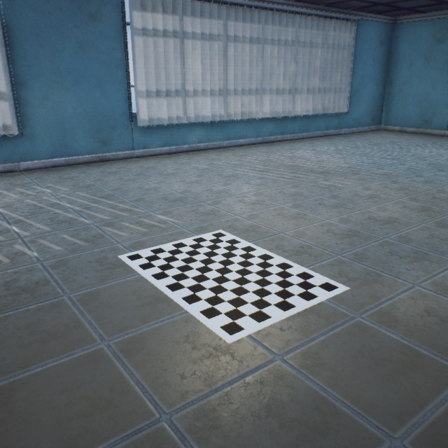
CheckerBoard
100000040
Calibration board 60cm_84cm_60mm
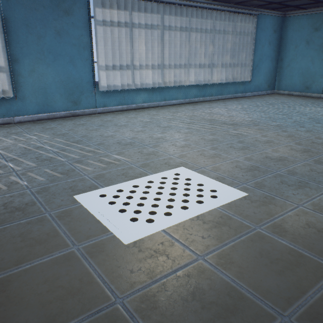
CirclePattern
100100040
Calibration board 60cm_84cm_60mm
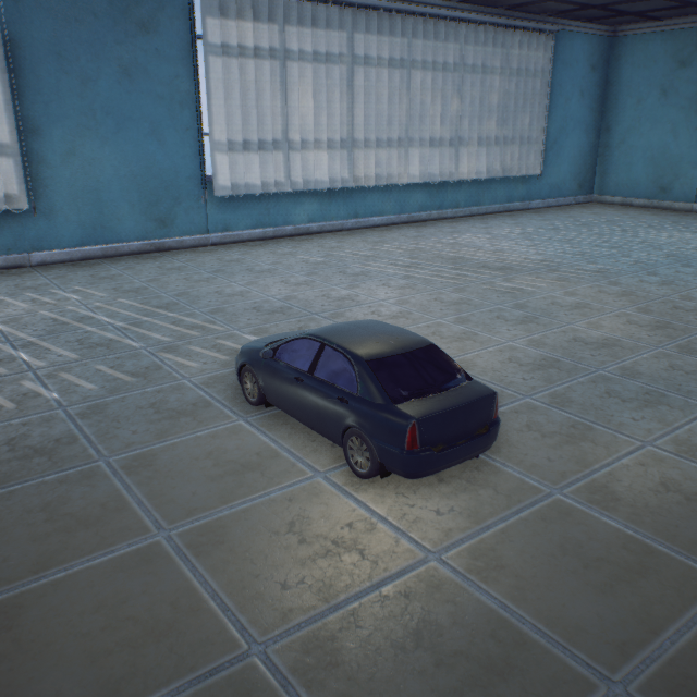
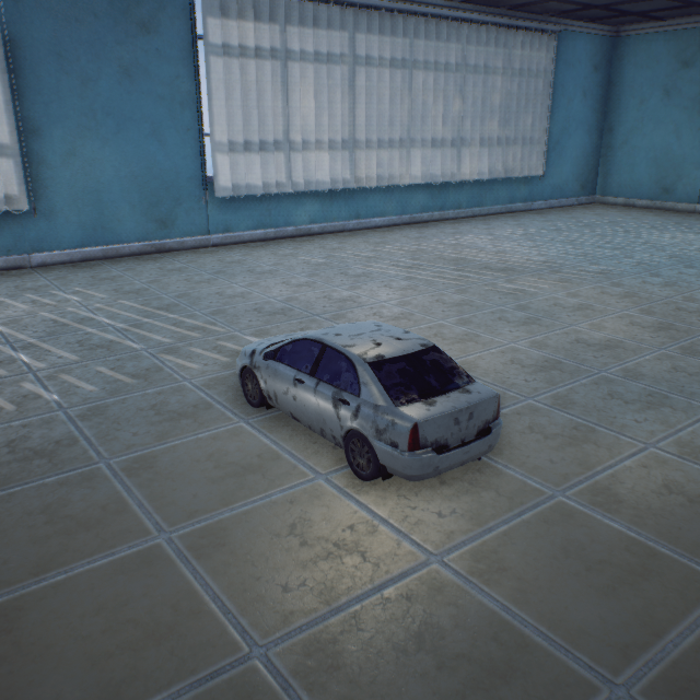
### Ground Vehicle (ClassID=50)
Standard_Car_Blue
100000050
272-118-62 cm (Static Mesh)
Car_GreenBlack
10100050
502-226-171 cm (Static Mesh)
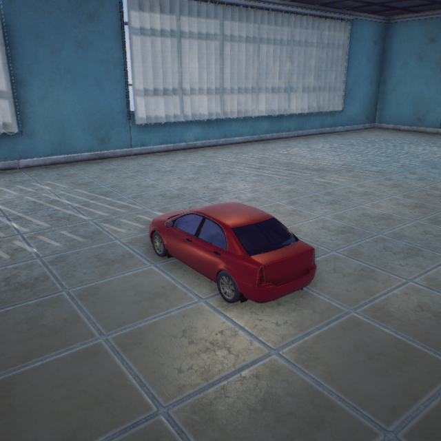
Car_Red
10200050
502-226-171 cm (Static Mesh)
Car_White
10300050
502-226-171 cm (Static Mesh)
### Engineering Vehicle (ClassID=51)
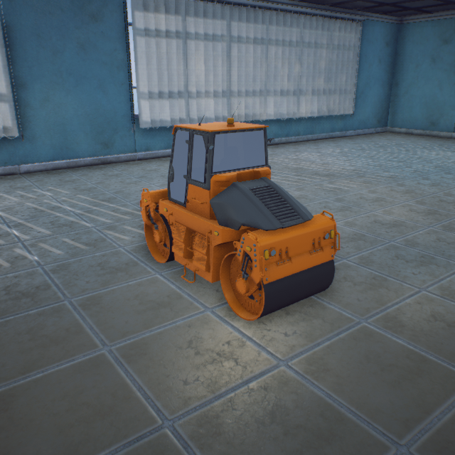
Roller8
10900051
Static Mesh
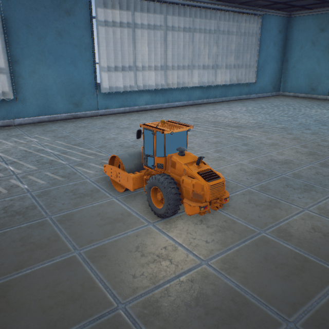
Roller9
11800051
Static Mesh
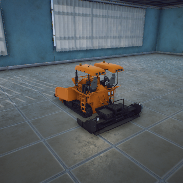
paver
11900051
Static Mesh
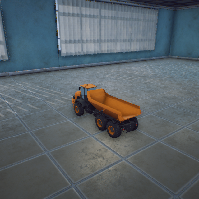
Trunk
12500051
Static Mesh
### Light Emitters (ClassID=60)
Light_White
100000060
Emissive Material
Light_Red
101000060
Emissive Material
Light_Green
102000060
Emissive Material
Light_Blue
103000060
Emissive Material
Light_Purple
104000060
Emissive Material
Light_Yellow
105000060
Emissive Material
Light_Aqua
106000060
Emissive Material
Light_White_Strong
107000060
Emissive Material
Light_Red_Strong
108000060
Emissive Material
Light_Green_Strong
109000060
Emissive Material
Light_Blue_Strong
110000060
Emissive Material
Light_Purple_Strong
111000060
Emissive Material
Light_Yellow_Strong
112000060
Emissive Material
Light_Aqua_Strong
113000060
Emissive Material
Light_Dark
114000060
Emissive Material
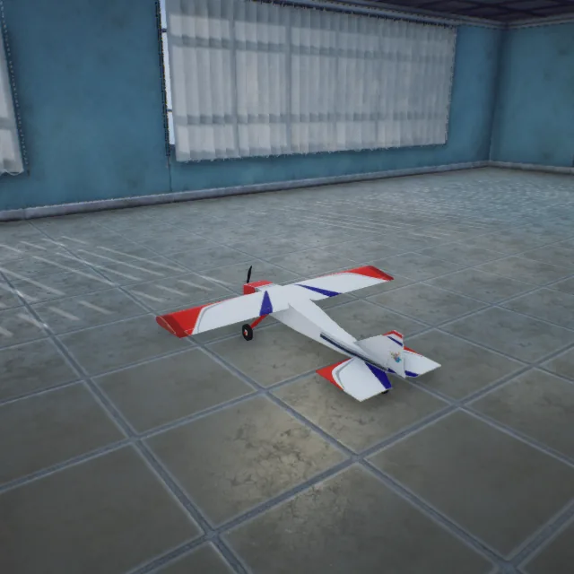
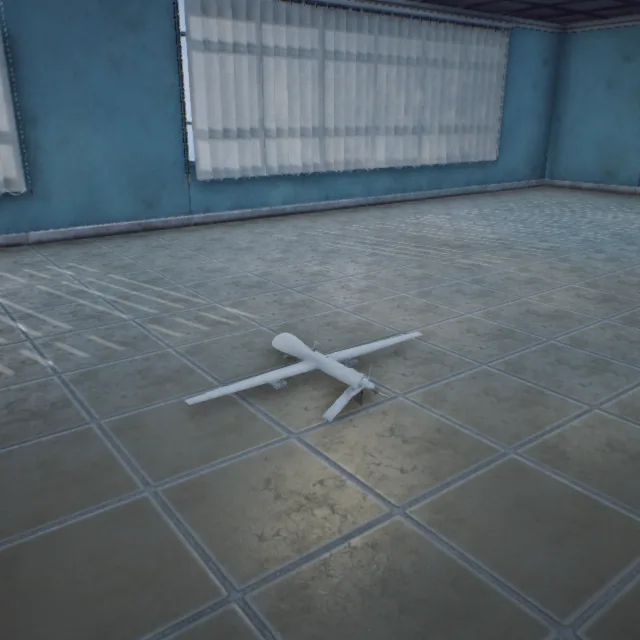
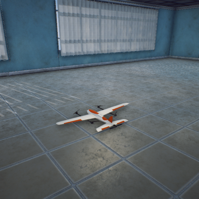
### Fixed-Wing (ClassID=100)
Flying_Wing
100000100
75-167-18 cm (Static Mesh)
Fixed_Wing
110000100
750-1464-240 cm (Static Mesh)
### Circular Ring (ClassID=150)
Ring_Target_Blue
100000150
50-959-2763 cm (Static Mesh)
Ring_Target_Green
101000150
50-959-2763 cm (Static Mesh)
### Square Ring (ClassID=151)
Quad_Target_Red
100000151
50-2050-4025 cm (Static Mesh)
Quad_Target_Green
101000151
50-2050-4025 cm (Static Mesh)
Quad_Target_Blue
102000151
50-2050-4025 cm (Static Mesh)
### Spherical (ClassID=152)
Sphere_Target_Red
100000152
100-100-100 cm (Static Mesh)
### Flying Wing (ClassID=201)
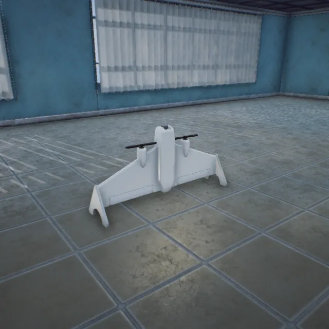
FSV900
10000201
45-89-22 cm (Static Mesh)
### Bomber (ClassID=208)
EastBomberSU24
10000208
2398-1682-620 cm (Animation Blueprint)
### Helicopter (ClassID=229)
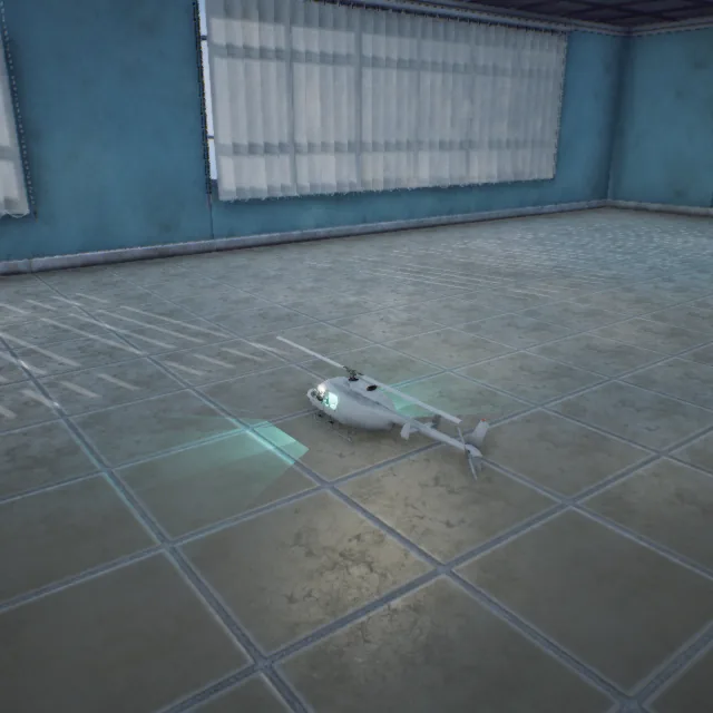
Helicopter1
10000229
198-1178-334 cm (Animation Blueprint)
### Fixed-Wing - UltraStick (ClassID=234)
### FS310 (ClassID=310)
FS310
1000310
54-57-30 cm (Animation Blueprint)
### Submarine (ClassID=600)
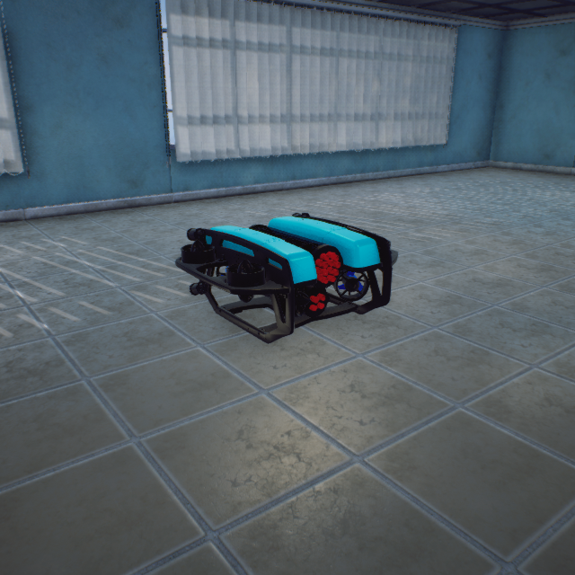
Submarine2
10000600
(1766-2399-1521) × 0.1 cm (Animation Blueprint)
### Standard VTOL (ClassID=602)
StandardVtol2
10000602
143-249-32 cm (Animation Blueprint)
### Communication Effects (ClassID=802)
### Virtual Pipeline (ClassID=803)
### Target (ClassID=809)
#### 2.2 Full 3D Scene
3DDisplay
CameraRoom
ChallengeMap
Changsha
Denver
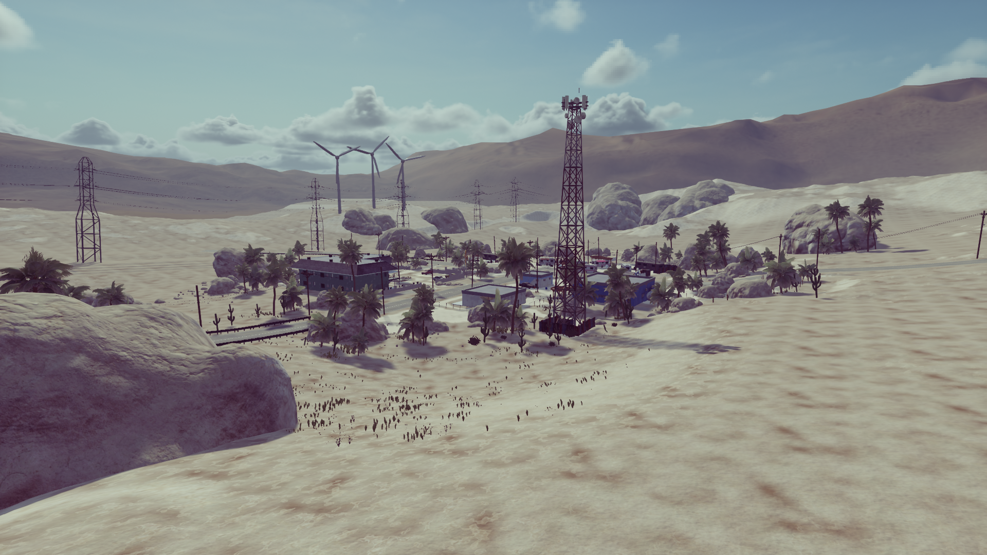
DesertTown
EarthMap
Grasslands
LightShow
LowGPU
MapData
MapDataHongkong
MapSmall
MatchScene
MatchScene2
MountainTerrain
MountainTerrain_Water
MoutainRoad
NeighborhoodPark
OldFactory